


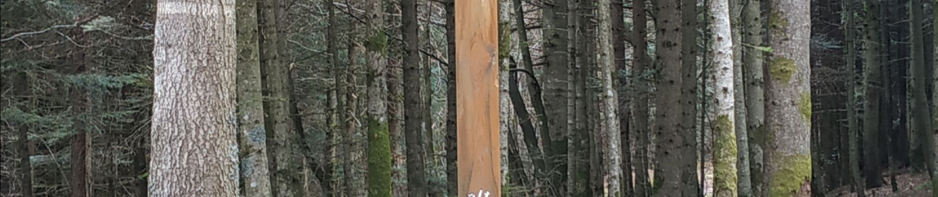
sortie vtt du 07042019 la bourgonce

fabwin
User GUIDE
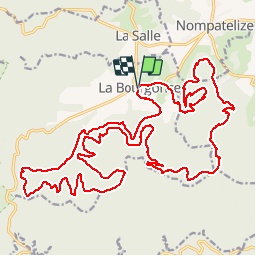

Length
31 km

Max alt
625 m

Uphill gradient
832 m
Km-Effort
42 km

Min alt
364 m

Downhill gradient
832 m
Boucle
Yes
Creation date :
2019-04-07 07:13:44.56
Updated on :
2019-04-07 13:13:04.472
2h48
Difficulty : Difficult

FREE GPS app for hiking
 SityTrail
IGN / Geographical institutes
SityTrail Plus
The world is yours!
About
Trail Mountain bike of 31 km to be discovered at Grand Est, Vosges, La Bourgonce. This trail is proposed by fabwin.
Photos


Positioning
Country:
France
Region :
Grand Est
Department/Province :
Vosges
Municipality :
La Bourgonce
Location:
Unknown
Start:(Dec)
Start:(UTM)
338930 ; 5353204 (32U) N.
Comments